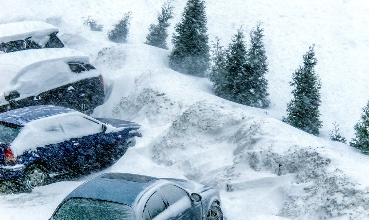
According to The National Weather Service, we could all be in for something quite unexpected this Thanksgiving. While we figured it would be a bit colder than usual but it might actually be much more intense than that.
A ‘bomb cyclone storm’ is headed towards southwest Oregon and northwest California on both Tuesday and Wednesday. This noting that surrounding states will also be facing things on some level. It has even been revealed that the storm itself could end up matching the strength of a category 1 hurricane!
As this bomb cyclone moves into Oregon and California in current times locals should avoid getting out if at all possible. From now until Wednesday afternoon the areas mentioned above could be facing extreme conditions. Snow, rain, and strong winds will be making traveling conditions quite difficult and as this storm works to spread towards the central and eastern states we should all be wary.
A dangerous storm is heading towards southwest Oregon and northwest California Tuesday and Wednesday, in the run up to Thanksgiving. Prepare now for possible impacts. pic.twitter.com/XtYz36JLql
— NWS WPC (@NWSWPC) November 25, 2019
Weather.com wrote as follows in regards to this bomb cyclone:
The intensifying storm is located in the northeastern Pacific Ocean and will move into Oregon and Northern California on Tuesday. This storm will undergo bombogenesis before it moves inland. This means it will be a bomb cyclone since its pressure will drop at least 24 millibars within 24 hours, making it an intense storm when it strikes.
From there, the storm will track slowly eastward from the West toward the central and eastern states into this weekend through a sharp southward plunge of the jet stream.
The Weather Channel has named this system Winter Storm Ezekiel.
The powerful area of low pressure will push inland near the border between Oregon and California by late in the day.
The intensity of this storm is potentially historic for southwestern Oregon and northwestern California, the National Weather Service said.
Strong winds gusting over 70 mph will punch into southwestern Oregon and northwestern California. The winds could cause tree damage and power outages in some areas.
Snowfall will pick up in the Sierra Nevada and the Cascades, as well as the higher terrain of Northern California, particularly above 1,500 feet in elevation. The snowfall will make travel conditions dangerous on Interstate 80 in the Sierra and Interstate 5 in the mountains of Northern California and southern Oregon.
Please keep those in the most affected areas in your thoughts as we move through these next few days. What do you think about all of this? I for one am glad I will be just out of this bomb cyclone’s reach if things unfold as they currently are. For more information on the things that this whole ordeal may hold please check out the video below.
Sources:
Twitter – national weather service
https://www.cnn.com/us/live-news/bomb-cyclone-thanksgiving-travel-2019/index.html

